Lower South Fork McKenzie River Valley Reconnection Phase 3
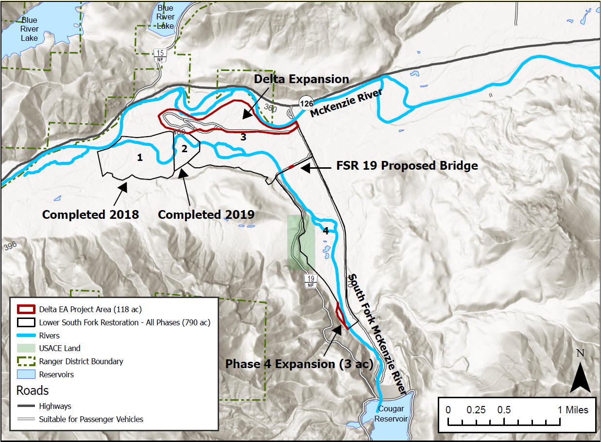
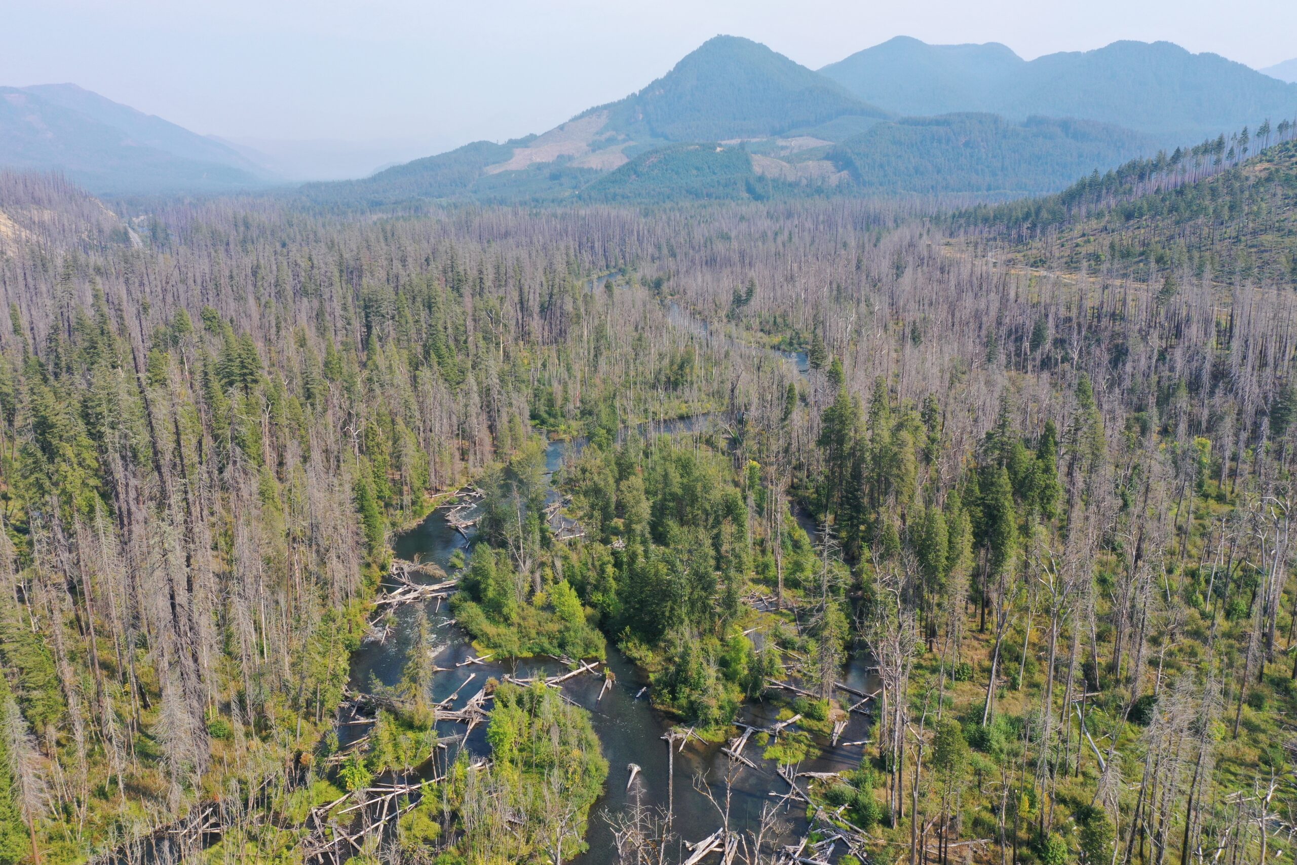
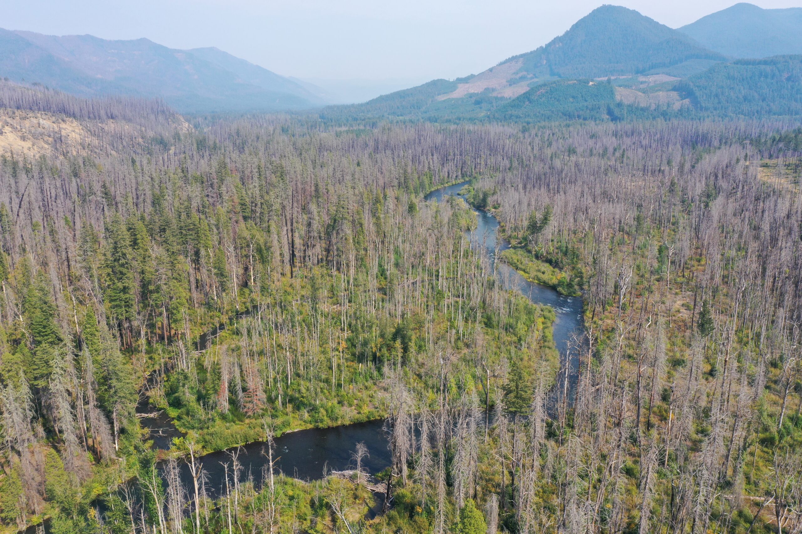
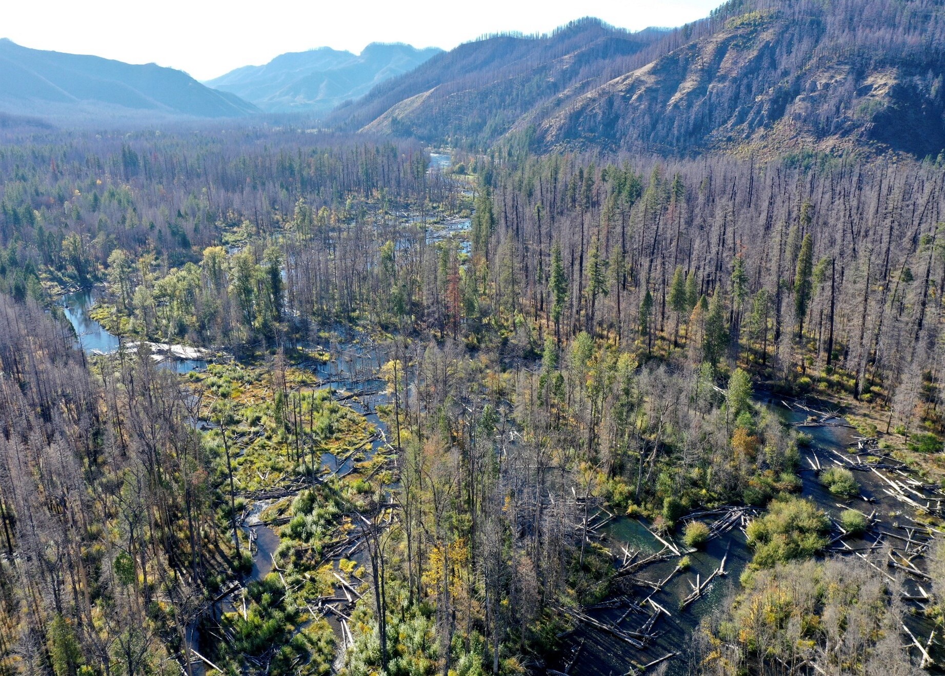
The Lower South Fork McKenzie River Valley Reconnection Project Phase 3 is a multi-phased effort to restore the natural processes that once maintained a diverse ecosystem within the lower 4.2 acres and 800 acres of the South Fork McKenzie River (SFMR) downstream of U.S. Army Corps of Engineers-operated Cougar Dam. Phase 1 was completed in 2018 on 0.7 miles and 150 acres, and Phase 2 in 2019 on 0.5 miles and 50 acres. The project is located on public lands managed by the U.S. Forest Service (USFS) in Lane County near the unincorporated community of Blue River. The McKenzie Watershed Alliance, the US Forest Service, Eugene Water and Electric Board, and the McKenzie River Trust are co-managing the project with funding support from NOAA and OWEB. (The MWA is the fiscal sponsor of the McKenzie Watershed Council).
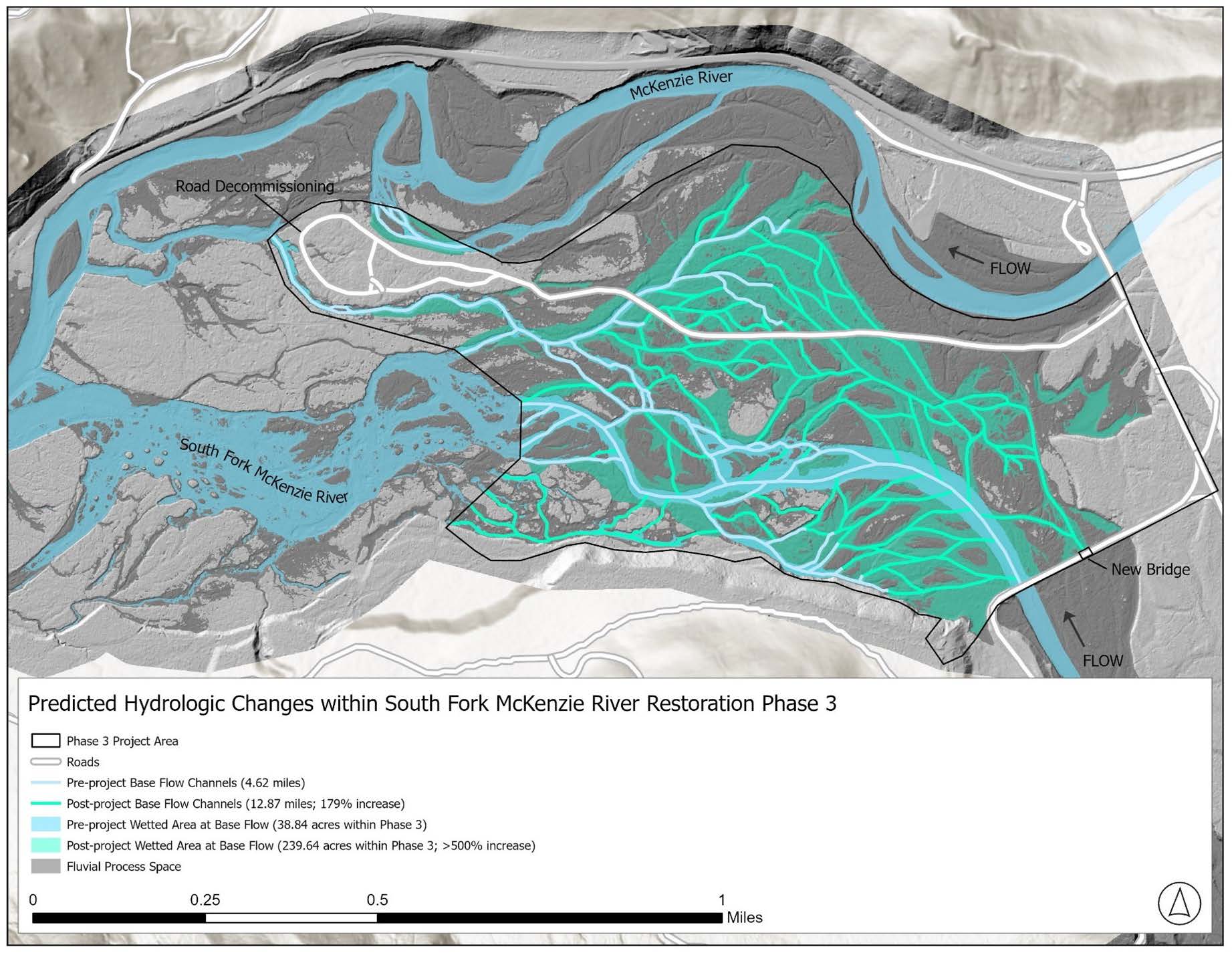
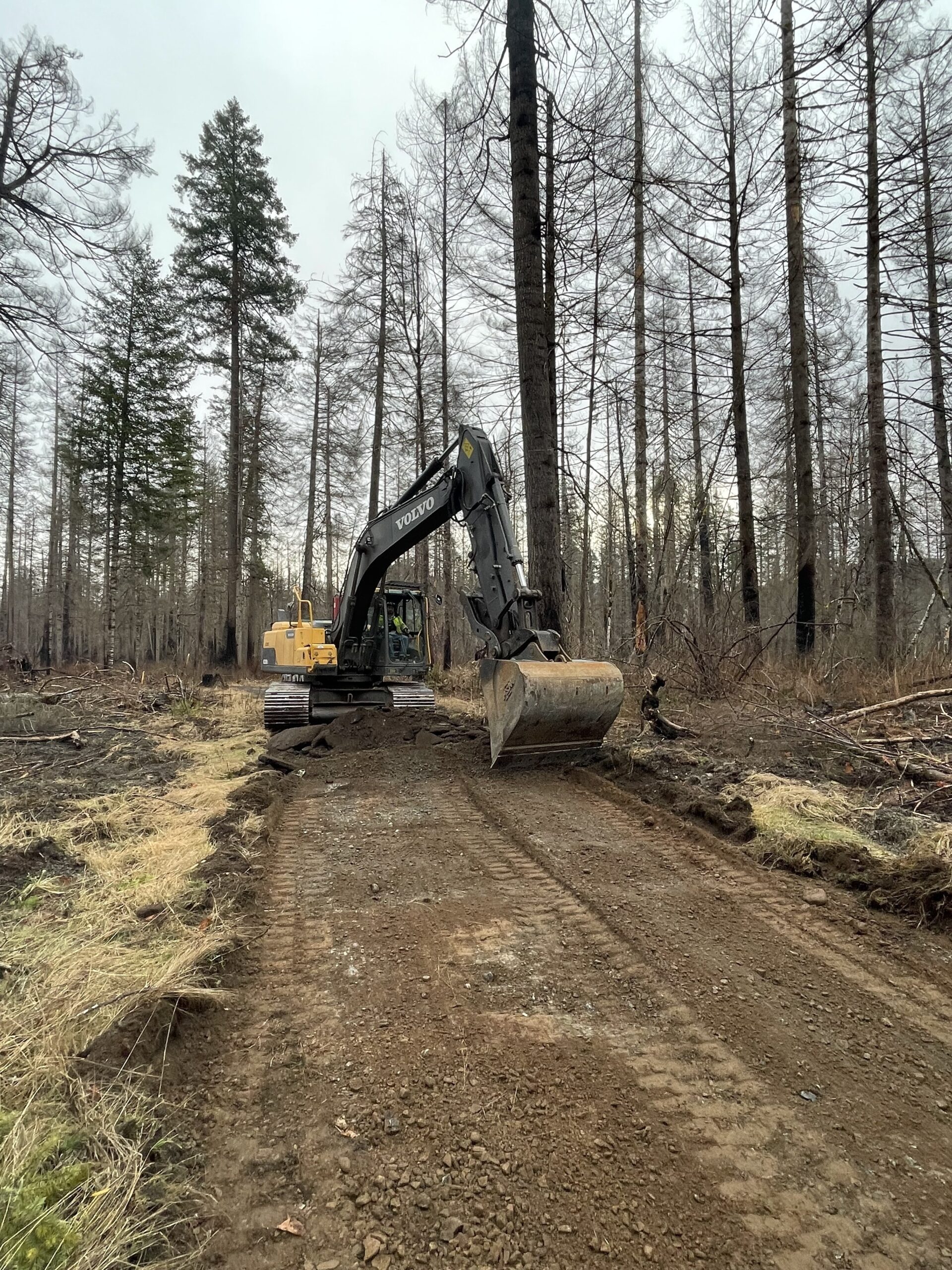
The Phase 3 project will improve channel, floodplain, and riparian habitats by reconnecting the valley bottom through the redistribution of approximately 150,006 cubic yards of alluvium, 7,000 pieces of large wood, and 3,500 cubic yards of slash to reconnect on 338 acres/1.8 miles of the floodplain during an 18-week permitted work window from May 4 – August 15, 2026 (In-water work period June 1 – August 15).
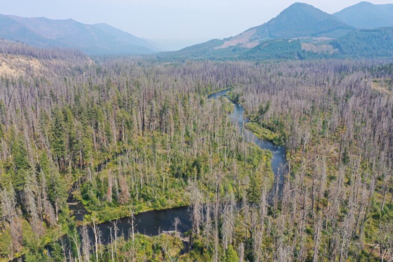
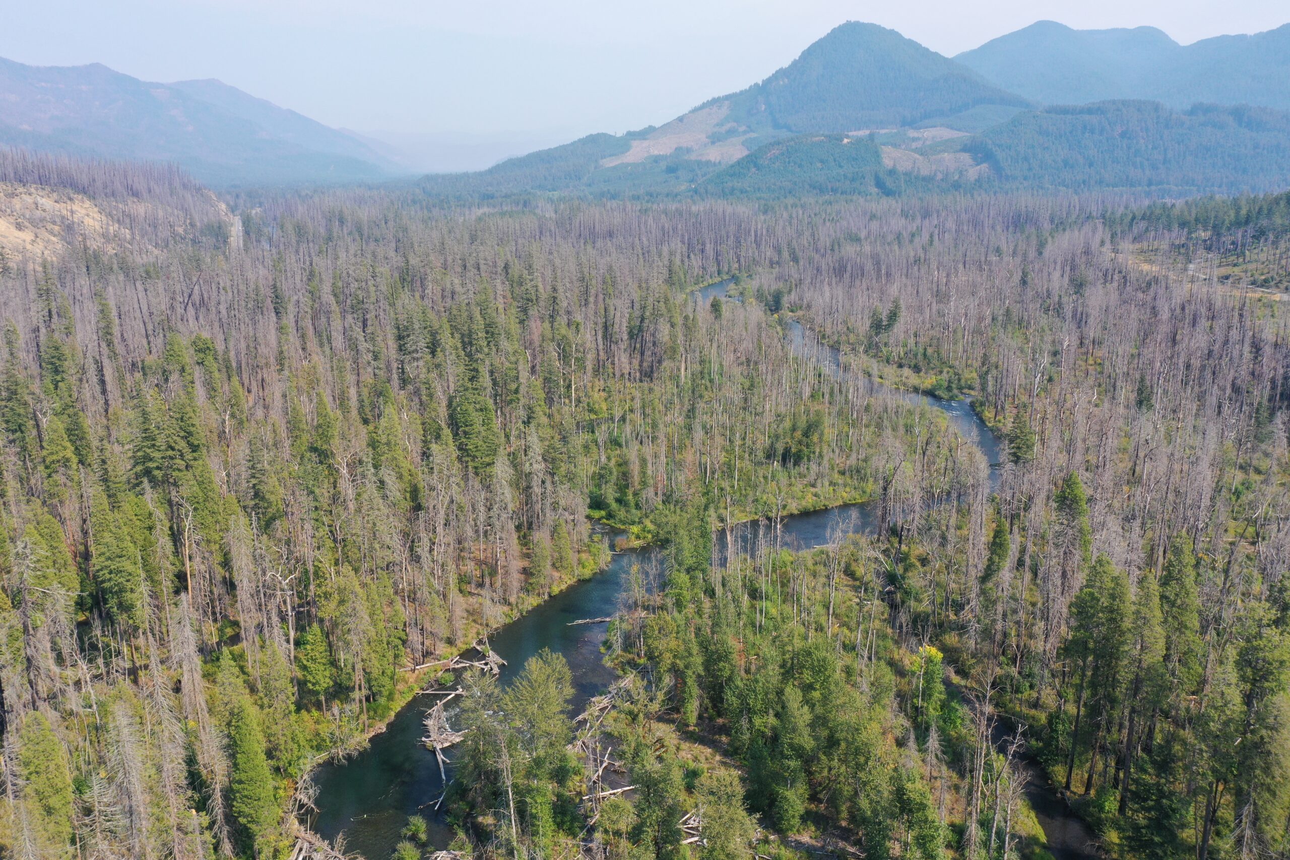
The project will restore connectivity and fluvial process to an estimated 240 acres of a historic channel-wetland complex and create diverse habitats that support spring Chinook salmon, bull trout, Pacific lamprey, and other native species.